

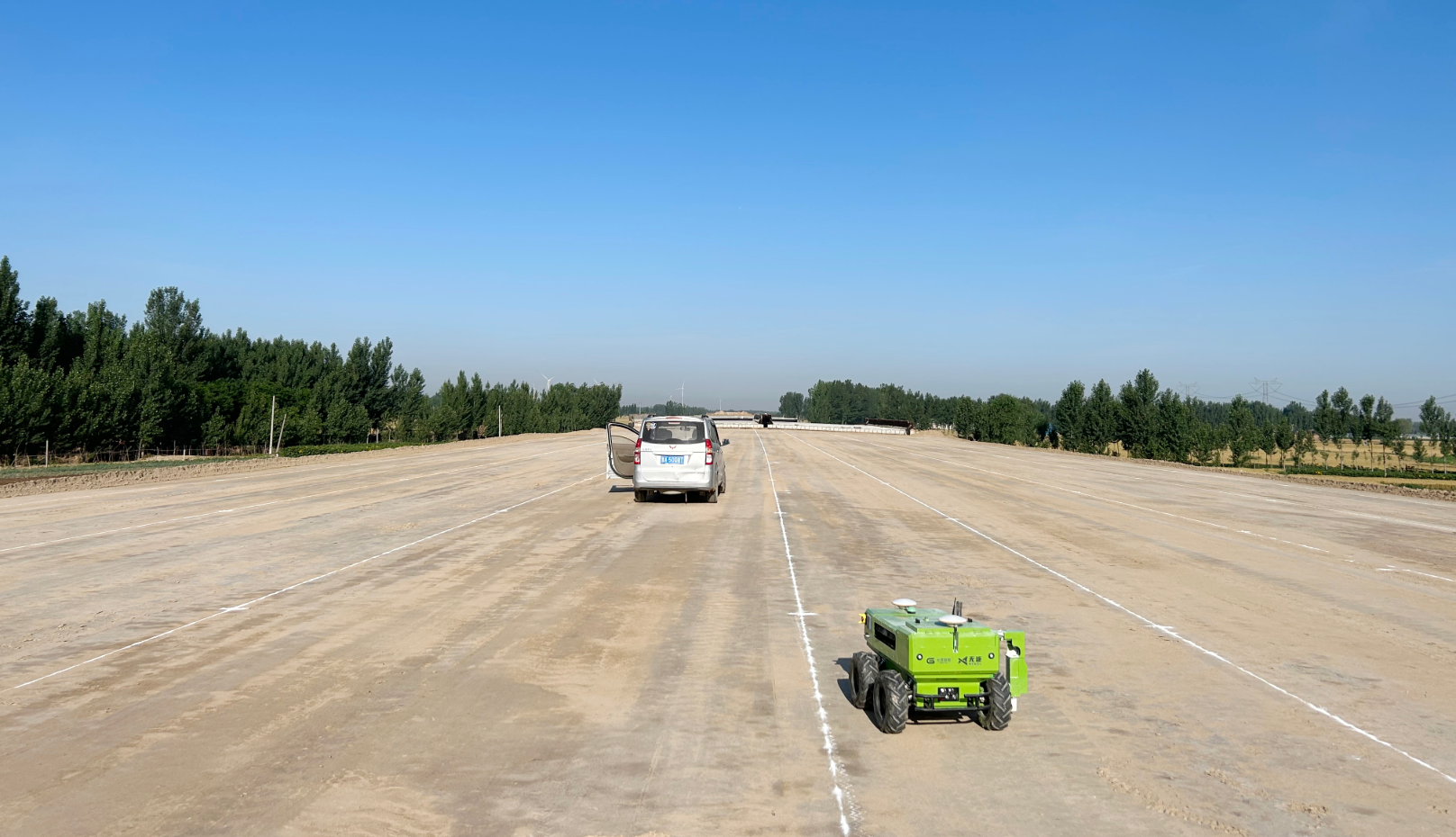
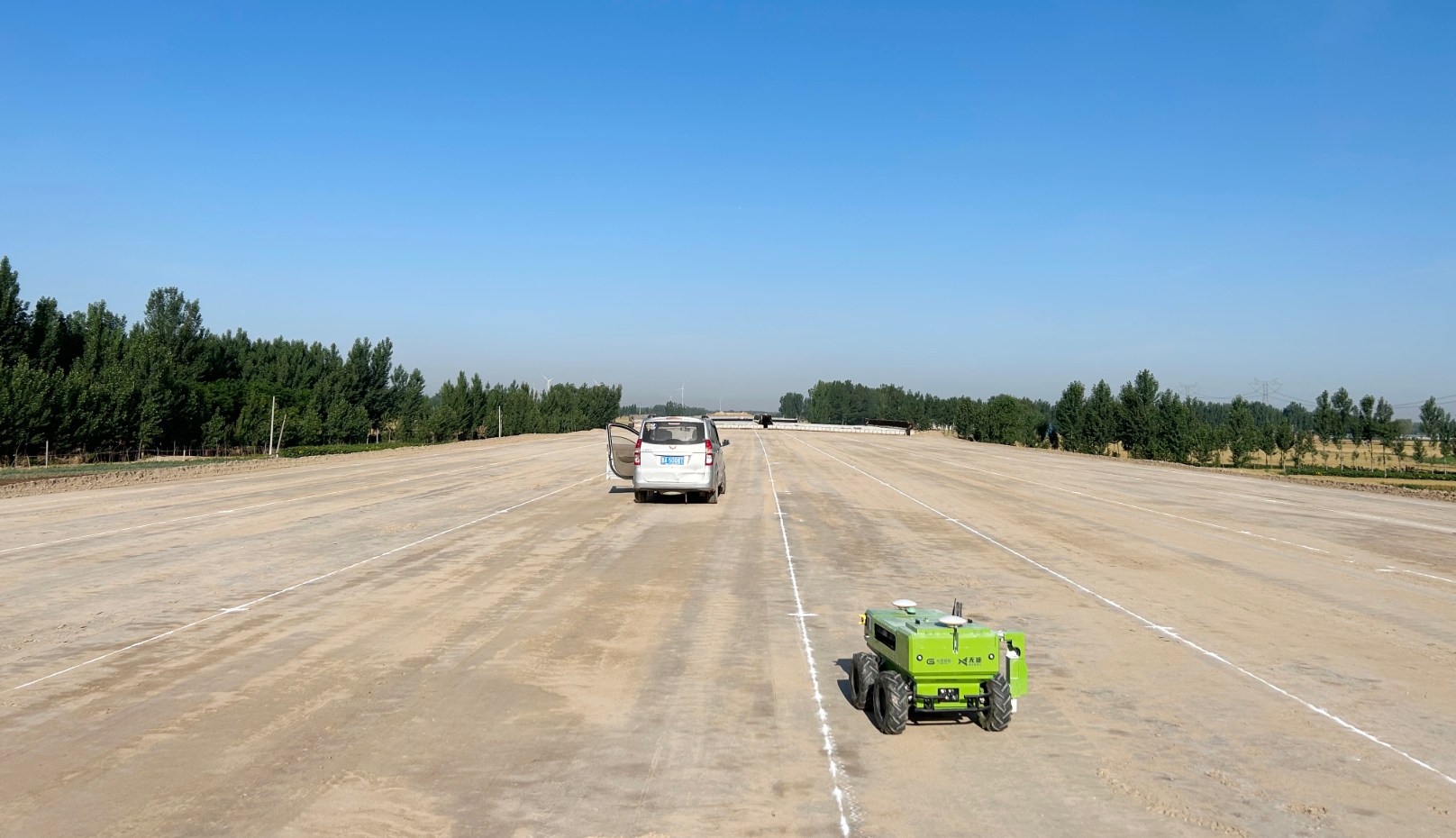
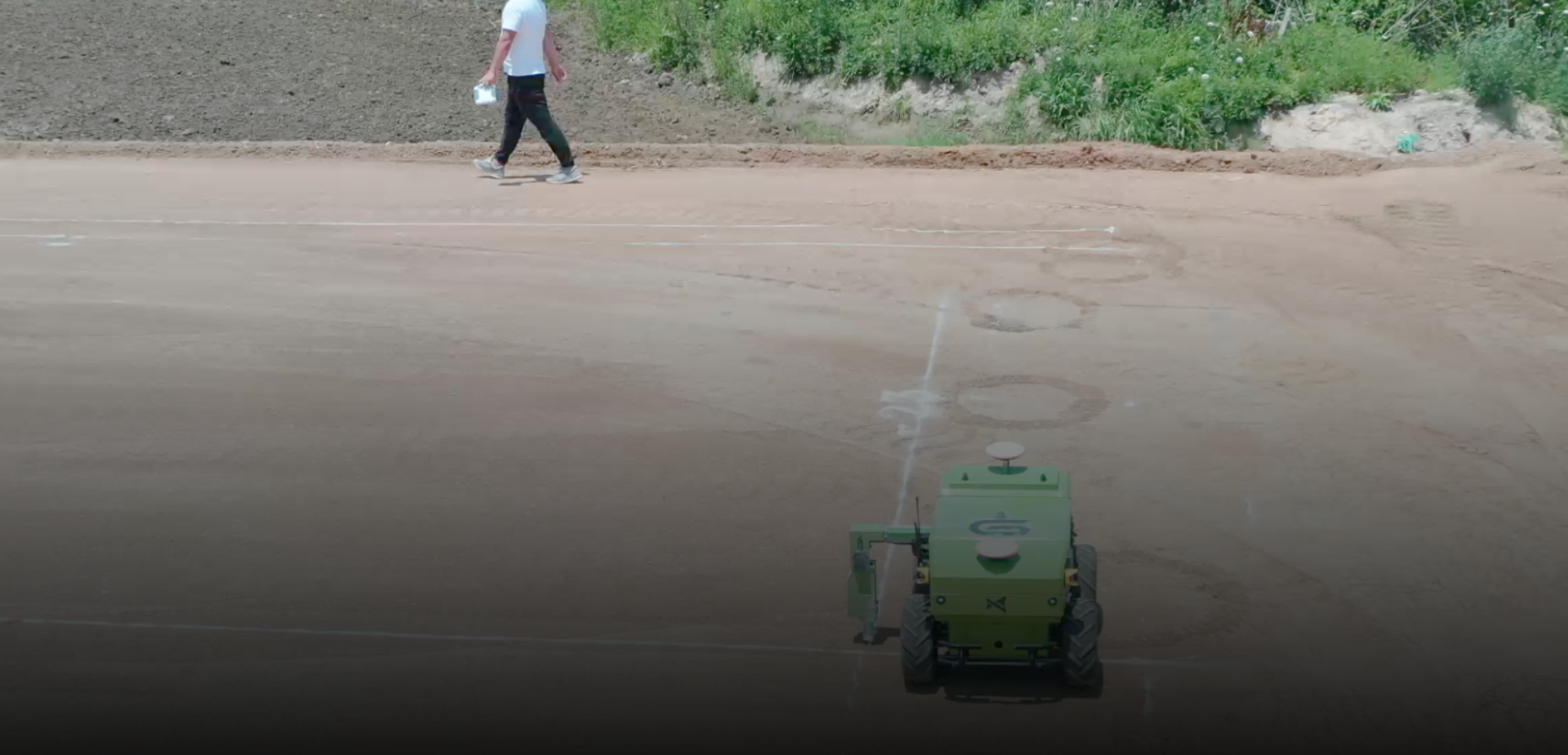
Pipe culvert setting-out
Supports pipe culvert excavation line setting-out.

Core advantages
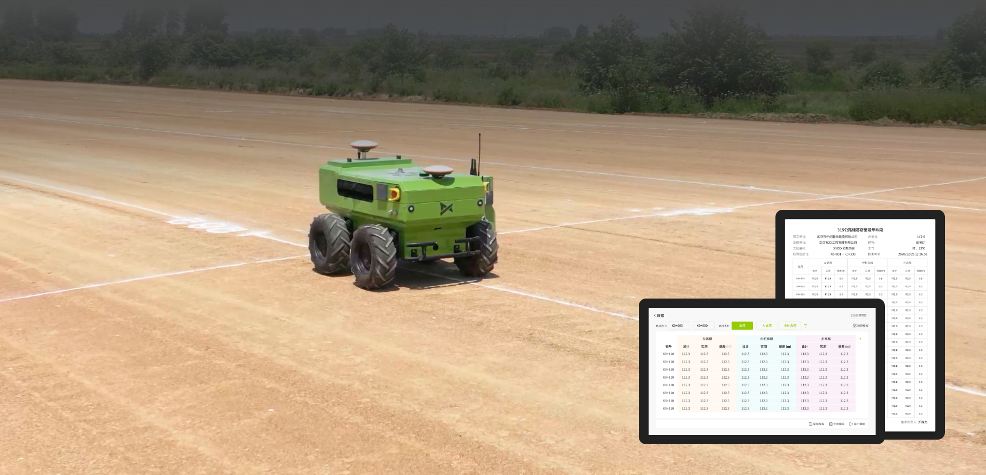
The roadbed measurement robot is an intelligent measurement robot that automatically performs road measurement, marking and line drawing. It serves edge stakes, center stakes, elevation control, precise leveling and pipe culvert excavation during roadbed filling and excavation, improving overall construction efficiency and quality through efficient and precise measurement and setting-out.
Applications
Covers pipe culverts, edge lines, center lines, stake numbers, leveling and standard grid tasks.
Supports pipe culvert excavation line setting-out.
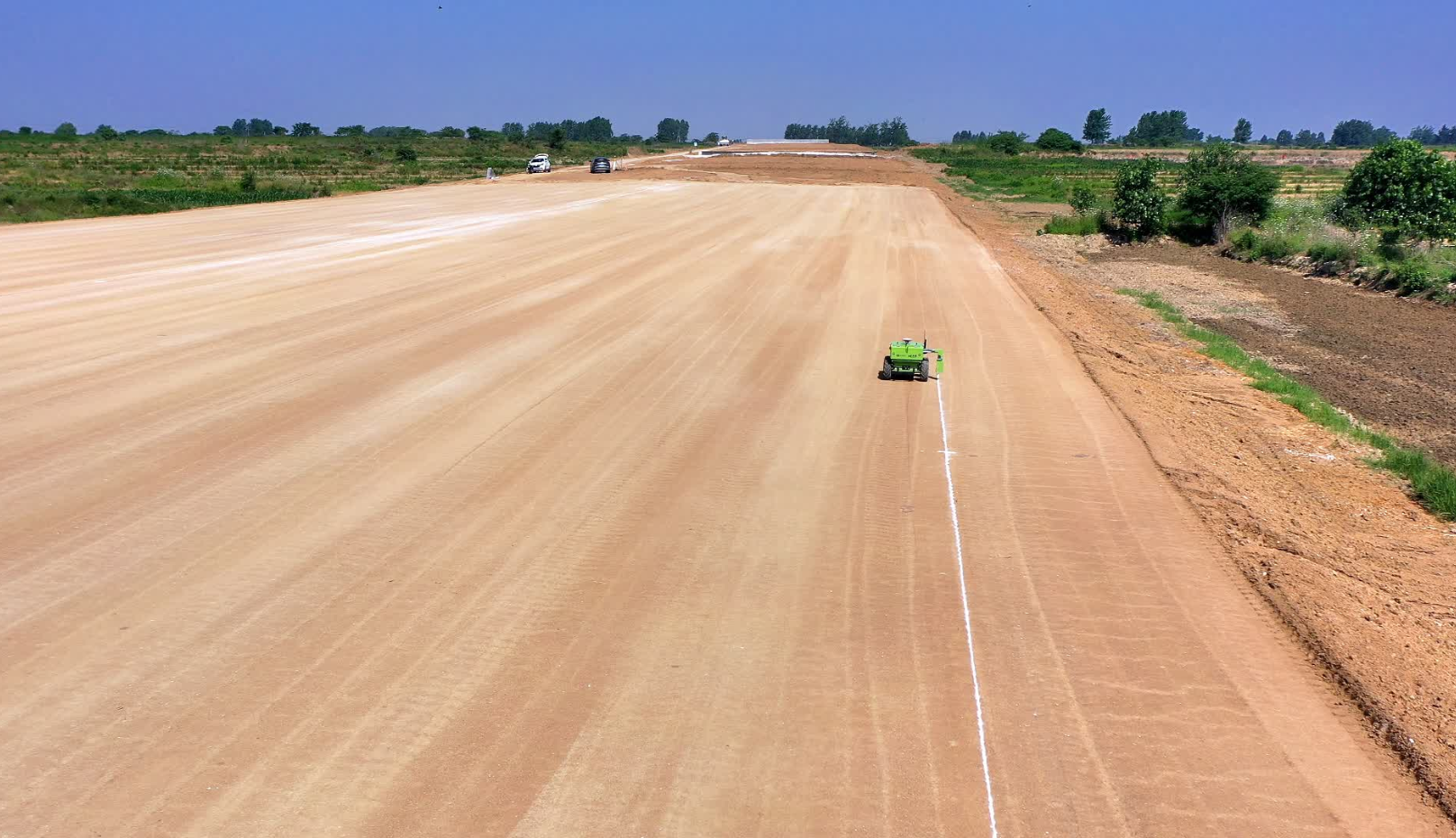
Supports road edge line setting-out.
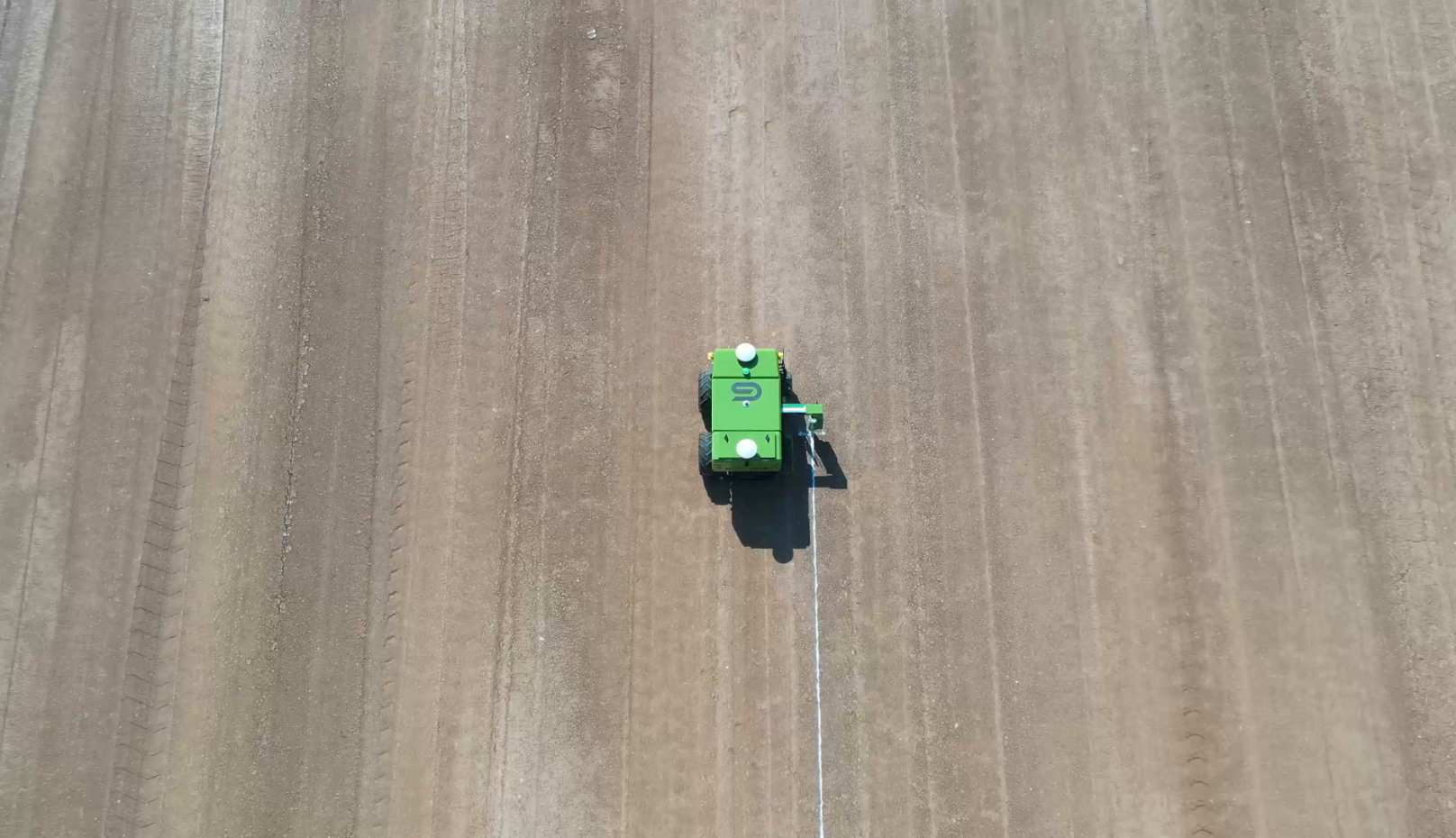
Supports road center line setting-out.
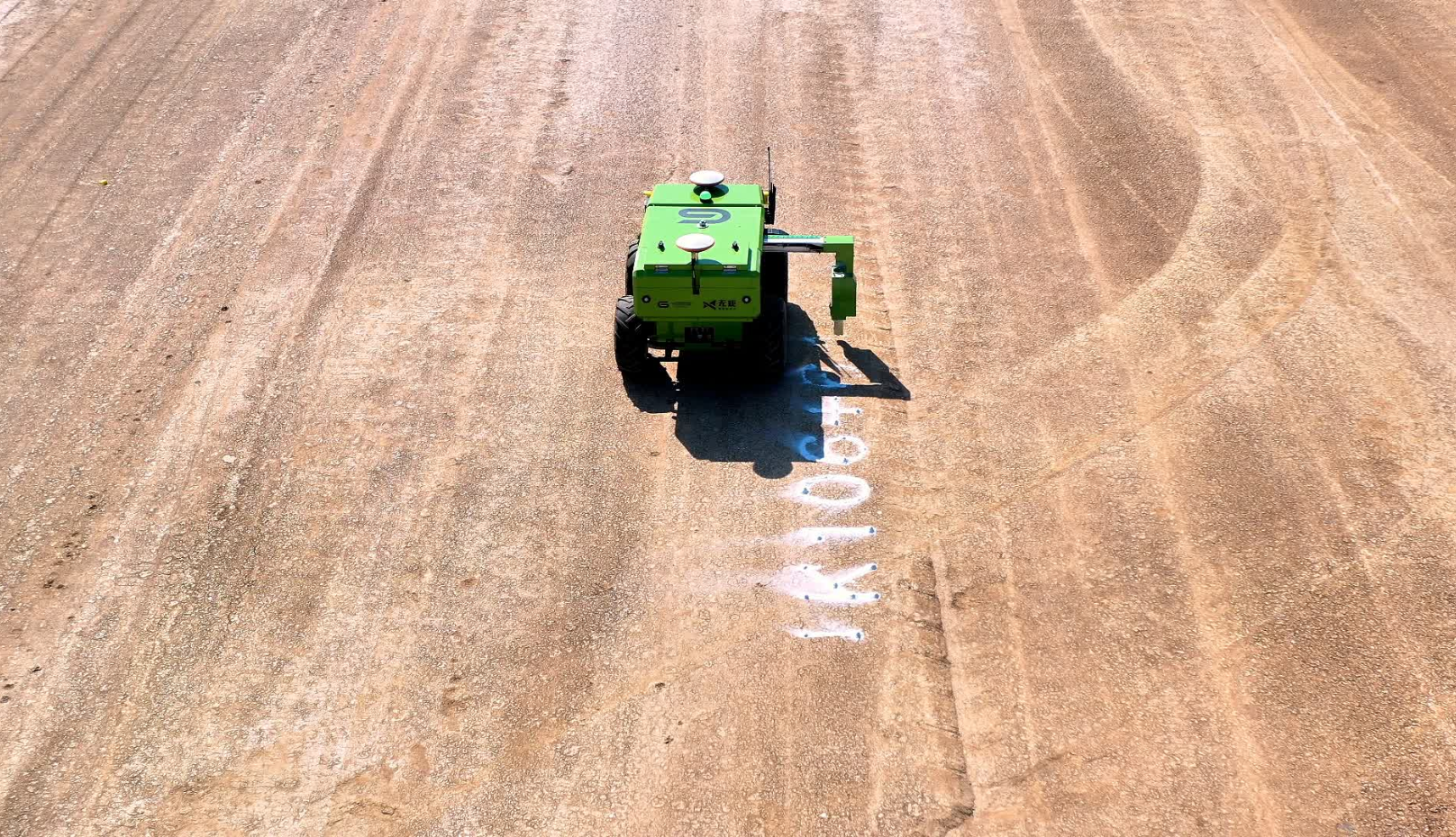
Supports stake number marking in the measurement workflow.
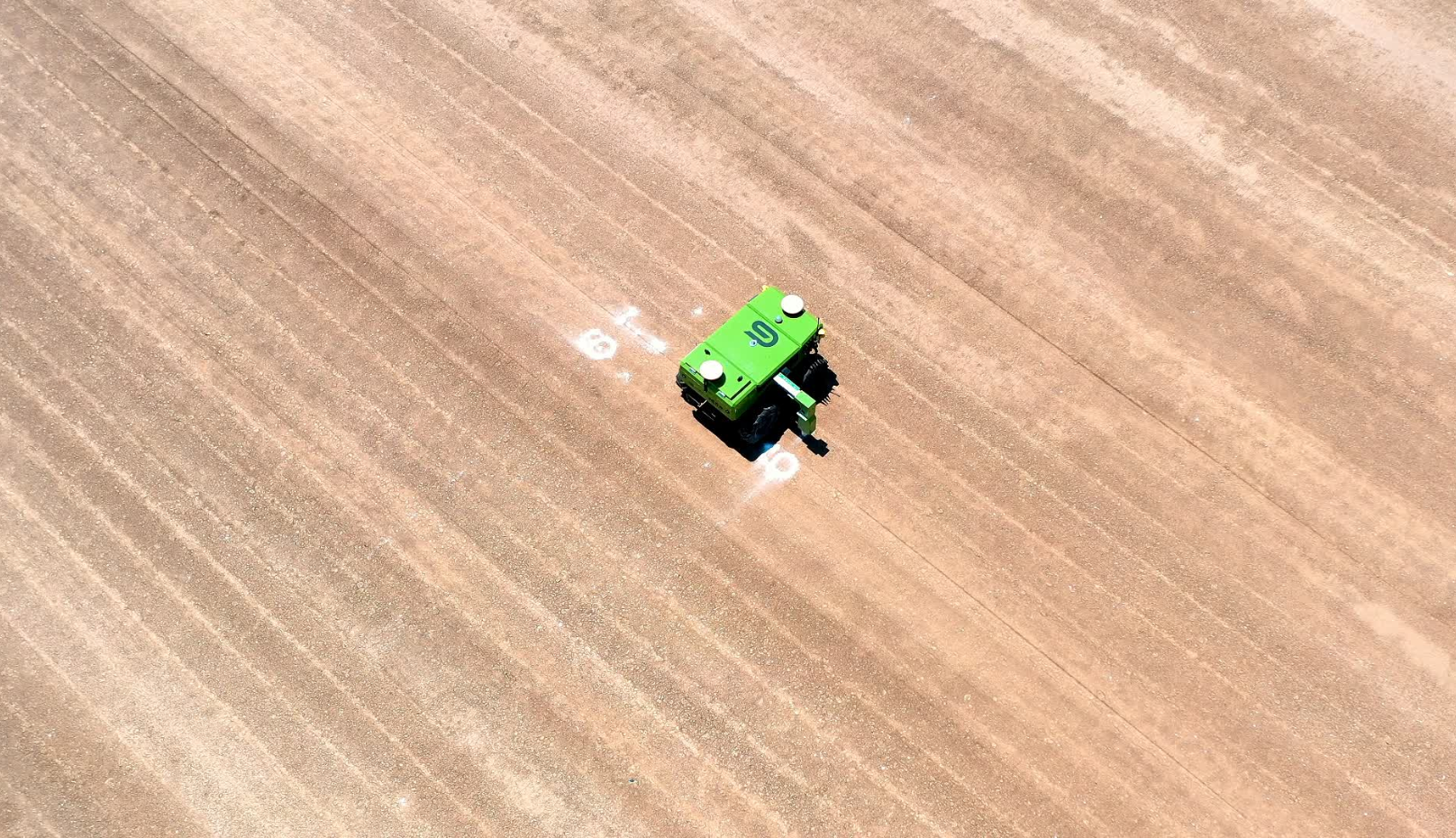
Supports precise leveling work.
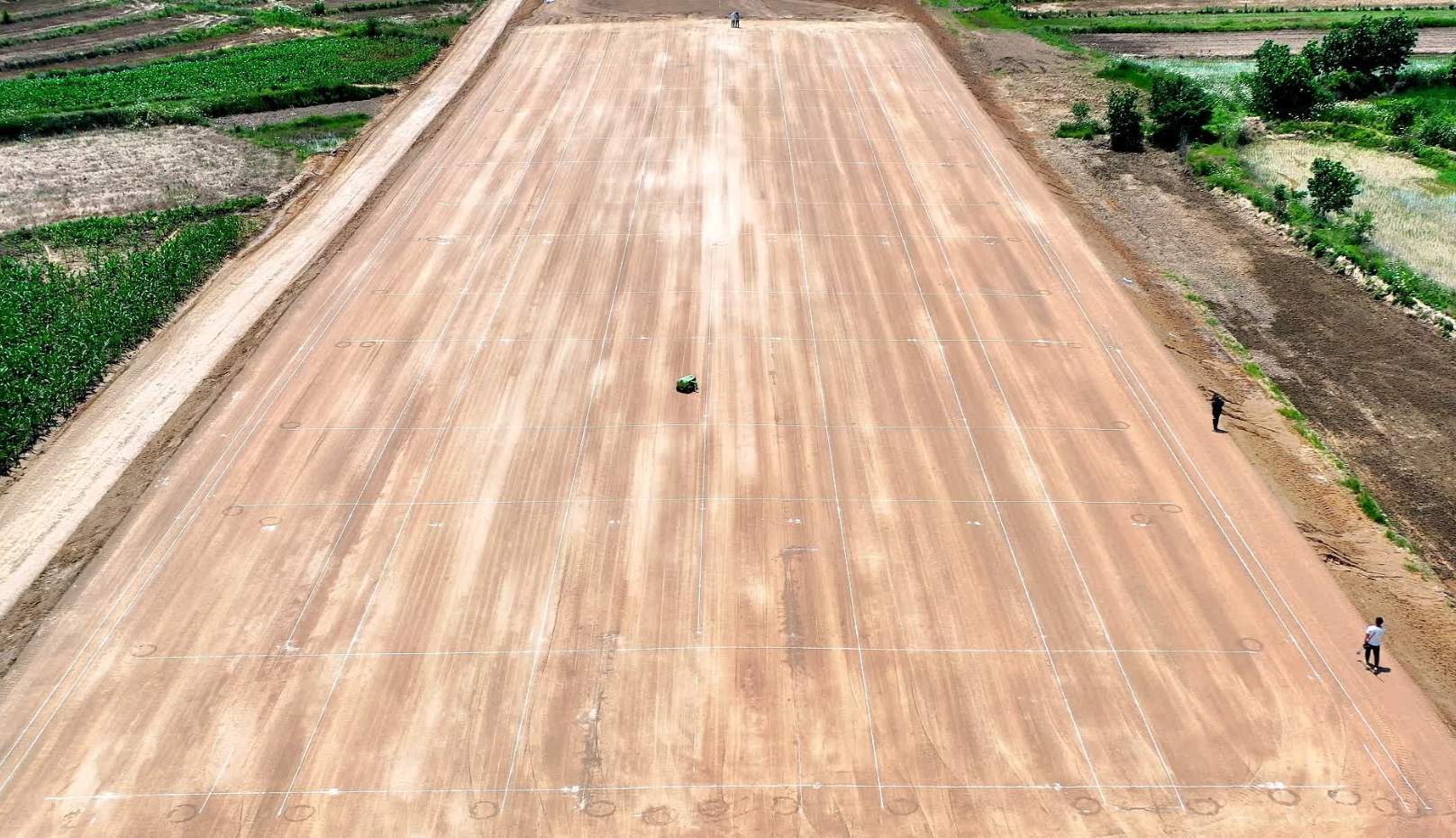
Supports earthwork grid setting-out.
Core advantages
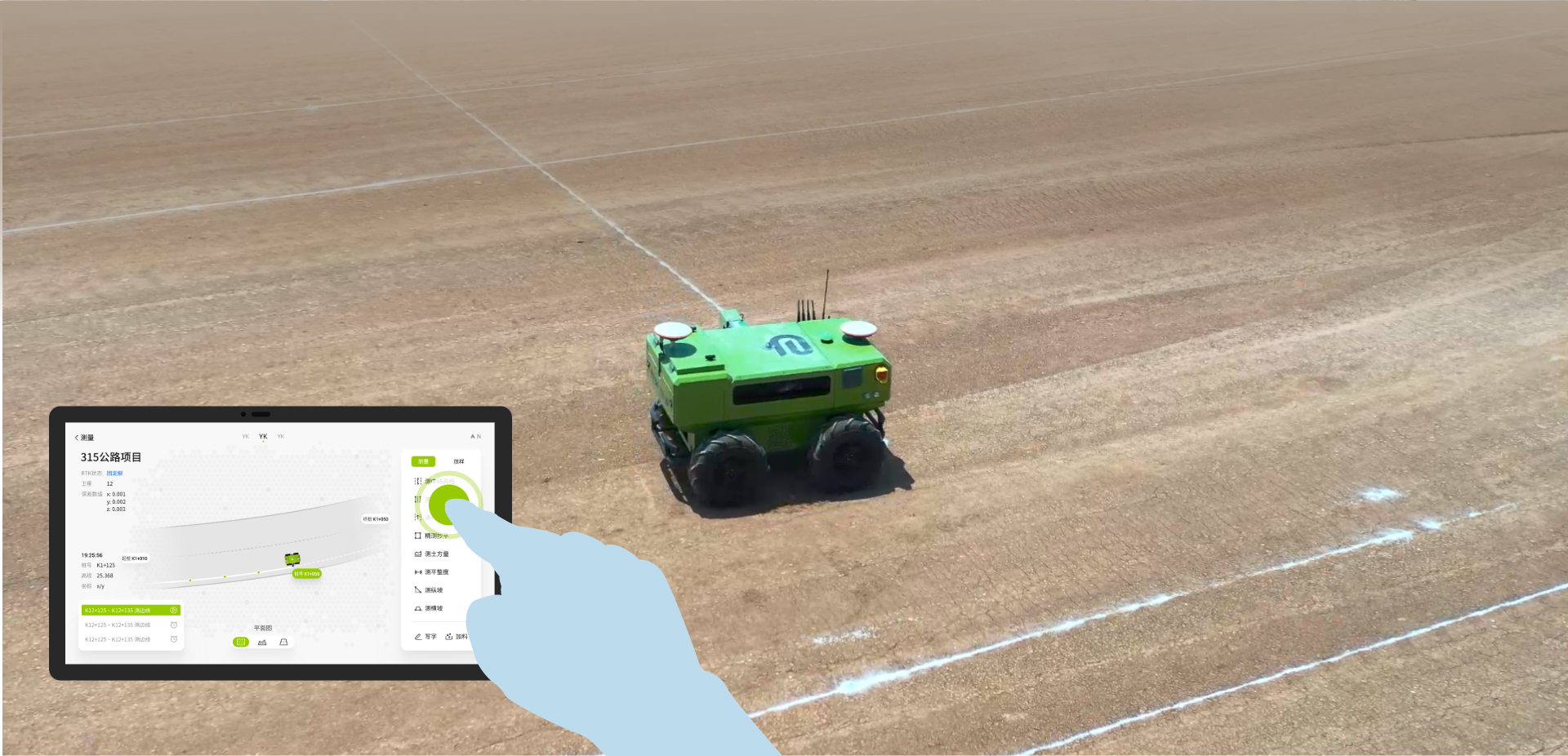
A complete road measurement workflow from complex tasks to digital drawings and data analysis.
01
Supports edge line, center line, earthwork grid and pipe culvert setting-out, cross-section and earthwork volume measurement, center-stake elevation and precise leveling.
02
Adapts to complex terrain with integrated measurement functions, high-precision positioning, intelligent navigation and autonomous planning.

03
The AI intelligent engine analyzes project progress and quality in real time to support project decisions.
Core advantages
Perception, planning, point selection and remote control for complex road construction sites.
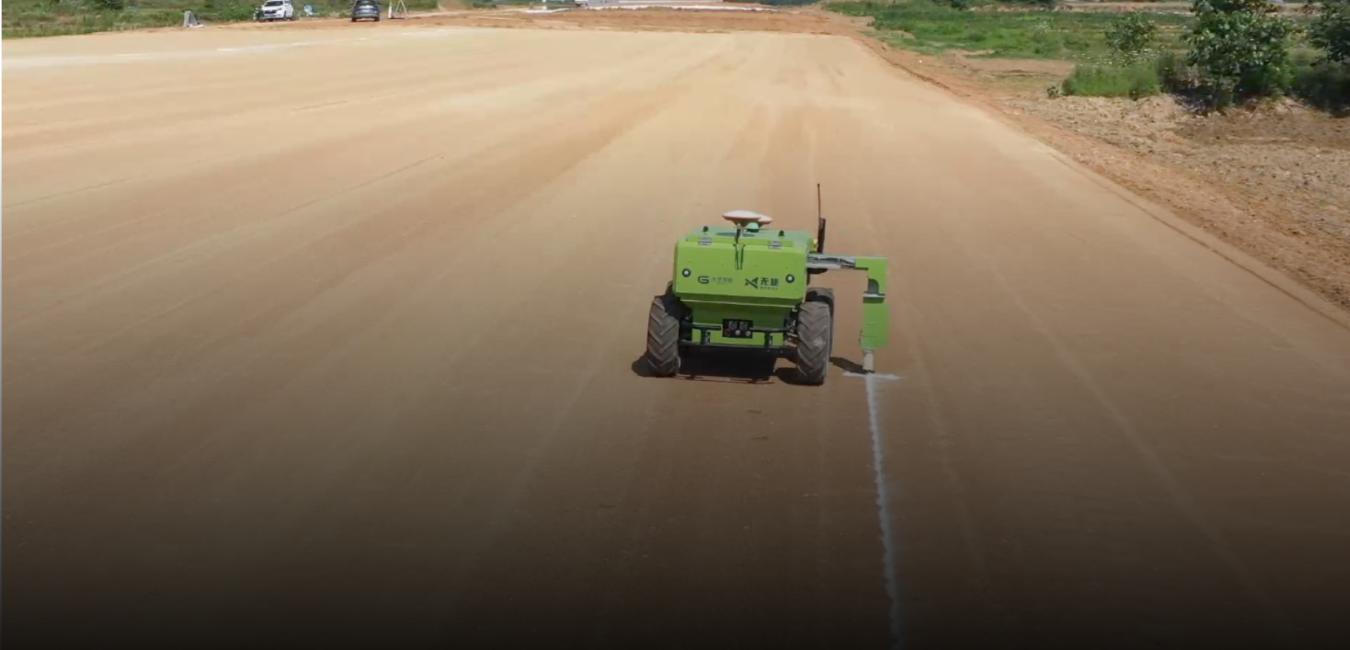
Identifies danger zones, edges, vehicles and obstacles, then plans avoidance automatically.
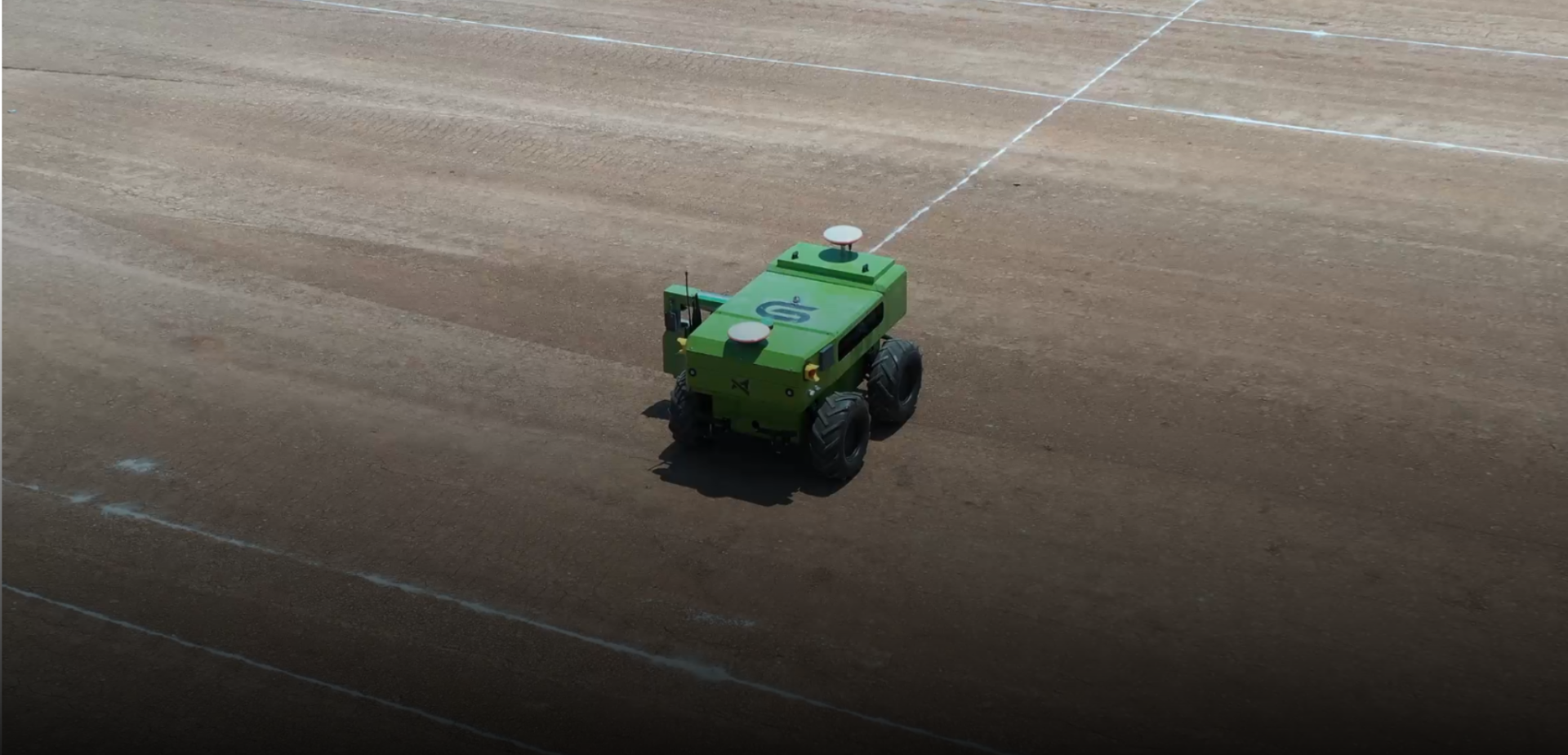
Plans the best route for multiple tasks, targets and work areas.
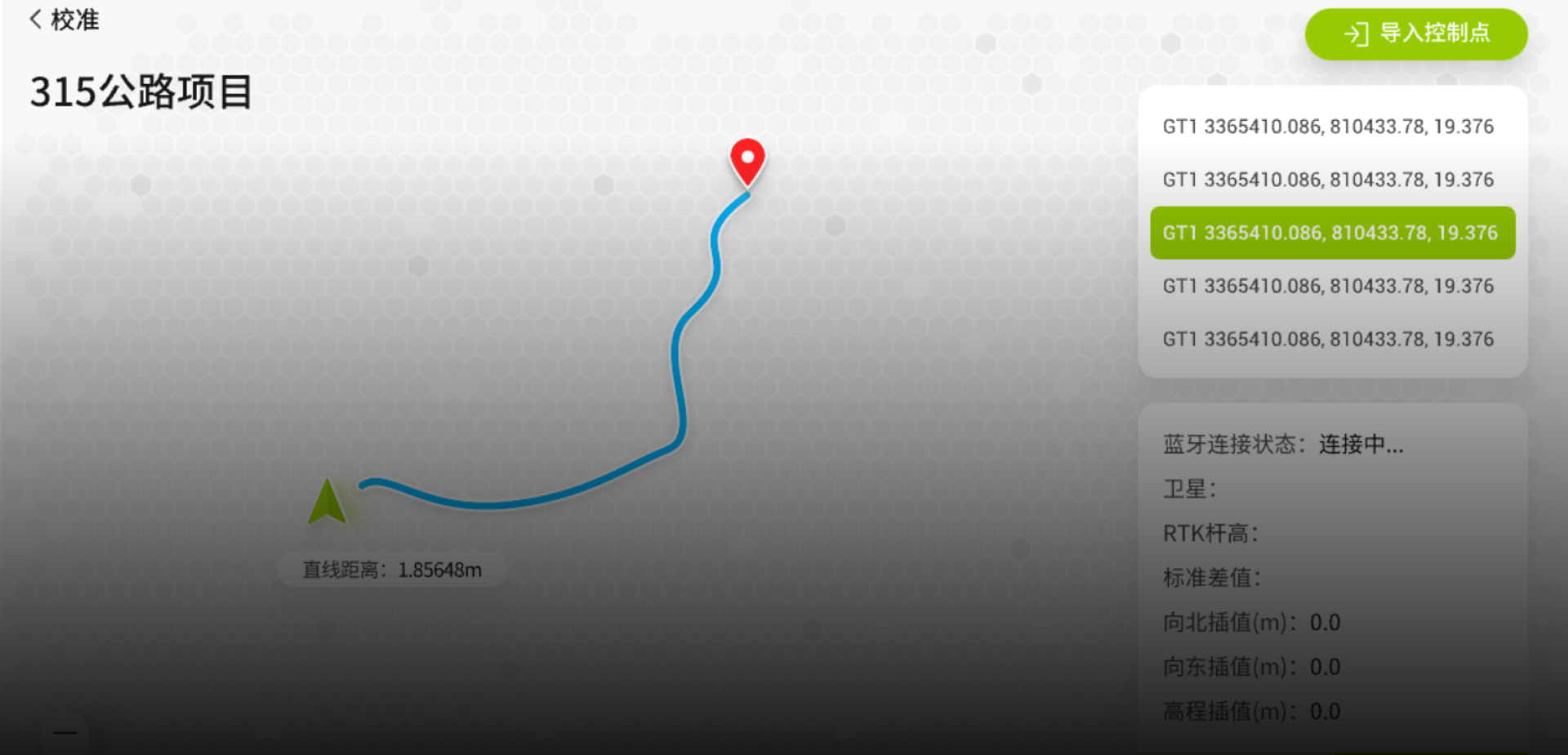
Selects map points, stake numbers and common locations with one click.
Supports 5G remote operation and remote control in emergency situations.
Workflow
The workflow helps procurement, project and operation teams understand how the equipment moves from digital preparation to field execution.
Import digital drawings
Select measurement task
Plan and execute the route
Export measurement records
Service package
Project-based consultation covering line type, positioning method, budget range and delivery constraints.
Operation manuals, video guidance, commissioning checklist and multilingual handover documents.
Online troubleshooting for software setup, task planning, field operation and maintenance questions.
Distributor enablement, product material packages and local service partner support for overseas markets.
Related products

Road inspection and acceptance
Quality teams needing structured pavement and roadbed inspection data.

Pre-marking and surveying
Contractors preparing digital line references before formal marking.
Contact
Use email, phone, WhatsApp or QR codes to reach the Roadiant sales team.